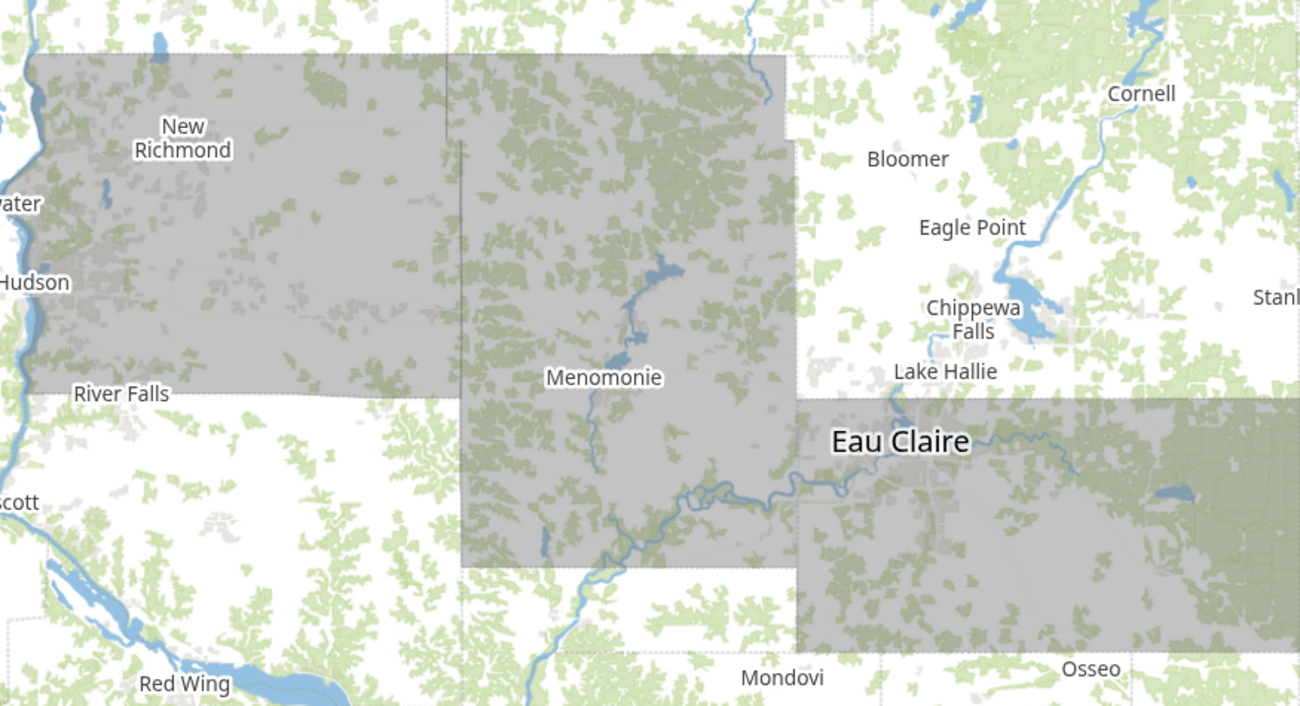
AREAS AFFECTED : ST. CROIX; DUNN; EAU CLAIRE
...POTENTIAL FOR HEAVY, ACCUMULATING SNOW AND VERY GUSTY WINDS FROM CENTRAL MINNESOTA TO WESTERN WISCONSIN TUESDAY AFTERNOON THROUGH TUESDAY NIGHT... .
A strong clipper system is forecast to bring accumulating, potentially heavy, snow to portions central and eastern Minnesota and western Wisconsin Tuesday through Tuesday night. Snow is expected to start in central Minnesota early Tuesday afternoon and spread southeast into western Wisconsin by Tuesday evening.
Currently, the most likely place for heaviest snow is along and north of Interstate 94 where a narrow band of 4 to 7 inches of snow is possible. Along and south of I-94, a wintry mix is possible at times, which will lower snowfall amounts. Winds will also become strong with gusts of 30 to 40 mph possible. The strongest winds will be across western and southern Minnesota.
Depending on if rain falls, and how the snow pack settles, blowing snow and blizzard conditions could be possible. Snow will end from west to east during the morning hours of Wednesday. * WHAT...Heavy snow expected. Total snow accumulations between 4 and 7 inches. Winds gusting as high as 35 mph. * WHERE...Dunn, Eau Claire, and St. Croix Counties. * WHEN...From 3 PM this afternoon to 9 AM CST Wednesday. * IMPACTS...Plan on slippery road conditions. The hazardous conditions will impact the Tuesday evening and Wednesday morning commutes.
Memberships
Press releases and other content not written by a specific Eye On Dunn County author are listed as Eye On Dunn County Staff.
Add new comment