By the National Weather Service
A very strong low pressure system resulted in two rounds of storms on Thursday, May 15th, 2025 across the Upper Midwest. The first round of storms developed west of Minnesota Wednesday evening and produced wind damage along the South Dakota and Minnesota border before weakening as they moved into Minnesota early Thursday morning. The storms eventually lifted north and dissipated as they approached the Minnesota and Wisconsin border.
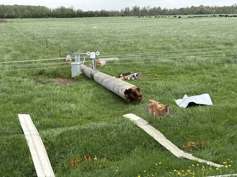
The second round of storms developed across south and west central Minnesota during the early afternoon. These storms quickly grew in scale and became severe as they lifted north and east. The line of storms over west central Minnesota produced several brief funnel clouds and a few tornadoes, including near Chippewa, Swift, and western Stearns counties. The atmosphere was primed for tornadoes thanks to the ample low-level wind shear in place, especially across western Wisconsin. Many rotating wall clouds and funnel clouds were reported along the south central line of storms that lifted up into the Twin Cities metro and eventually Wisconsin. The storms peaked in intensity as they tracked into western Wisconsin, resulting in at least one EF2 tornado in St Croix County and hail up to 4 inches in diameter in Eau Claire County. Additionally, there was significant straight line wind damage in Dunn, Barron, Chippewa, and Rusk Counties in Wisconsin with wind speeds estimated up near 100 mph based on damage in the Ladysmith area.
All of the storms had quickly moved out of the region by Thursday evening, but the strong low pressure system resulted in gusty southwest winds leading to blowing dust in parts of southern Minnesota.


Add new comment